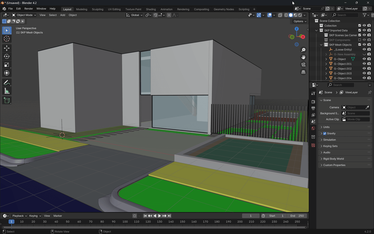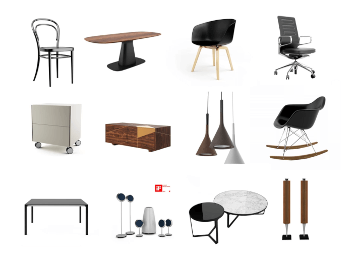

A great resource for anyone working with Blender for architecture, which can be either a simple visualization or a technical documentation is to have assets. You need quality assets to add a sense of scale and meaning to your design. For that reason, I'm always looking and sharing free resources available online that you can use with Blender. A great way to get those models is from a manufacturer website.
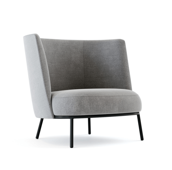
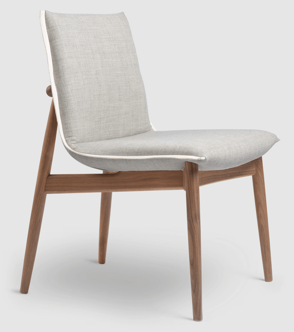
Some manufacturers offers multiple files as a reference for a design, and one of them is Carl Hansen from Denmark. They make some high-quality furniture for all kinds of projects. If you want to get one of those models and use it in Blender, I can recommend the Embrace Chair. It is a design from the Austrian trio EOOS.
How can we use it in Blender? When you visit the page with all details regarding this design, you will see a section on the right with the name Dimensions & Downloads where we can get a zip file with lots of 3D formats.
If you download the zip file and extract the contents, you will find:
- OBJ
- MAX
- DWG
- 3DS
From this list, you can easily import the OBJ file to Blender with no materials. The zip file also has a folder with texture maps, but they are tiny and there is no information about licensing for those images.
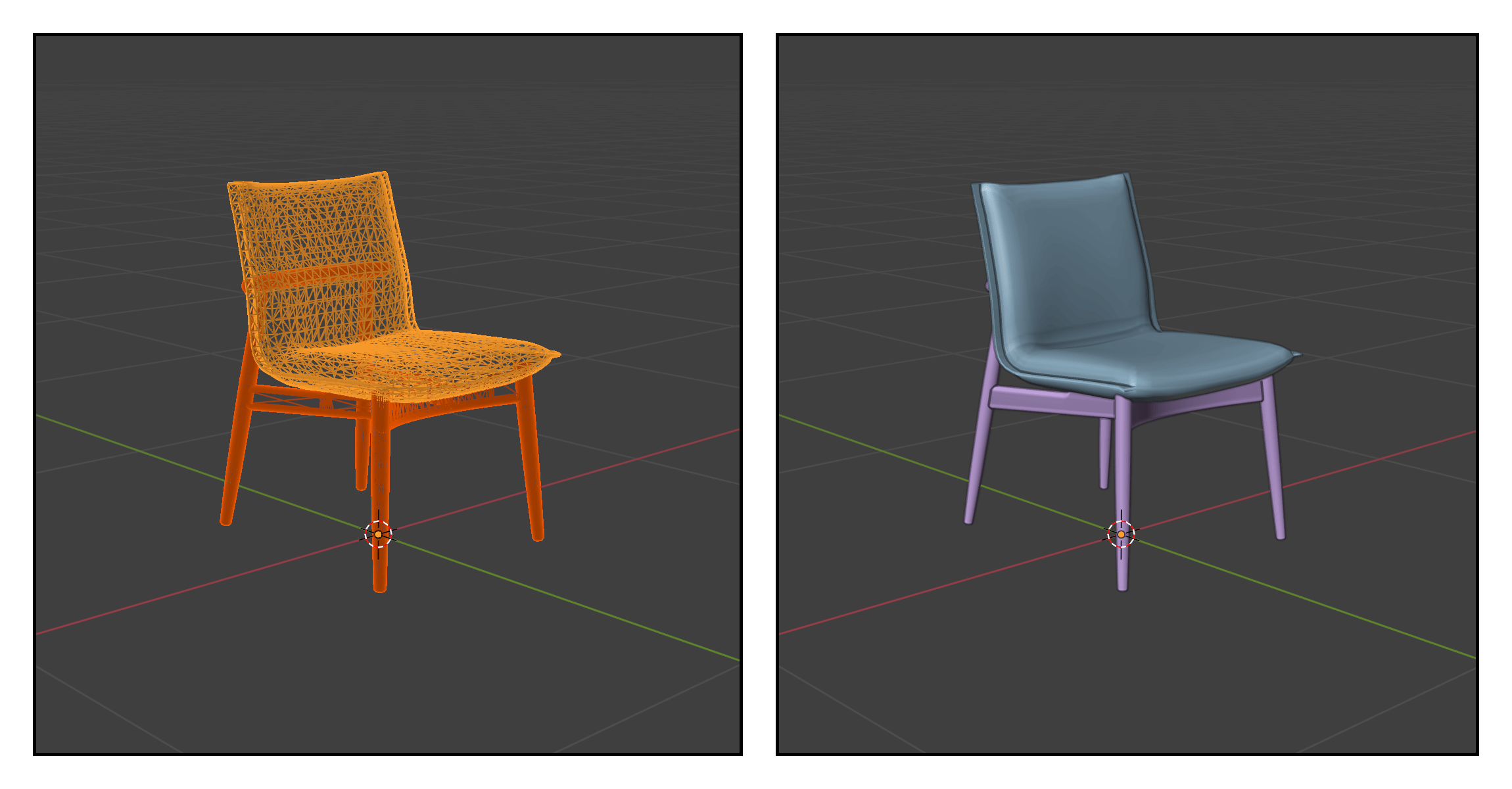
Another option is to use the 3DS format, but working with OBJ files gives you a cleaner mesh for working with textures.
Importing OBJ files to Blender
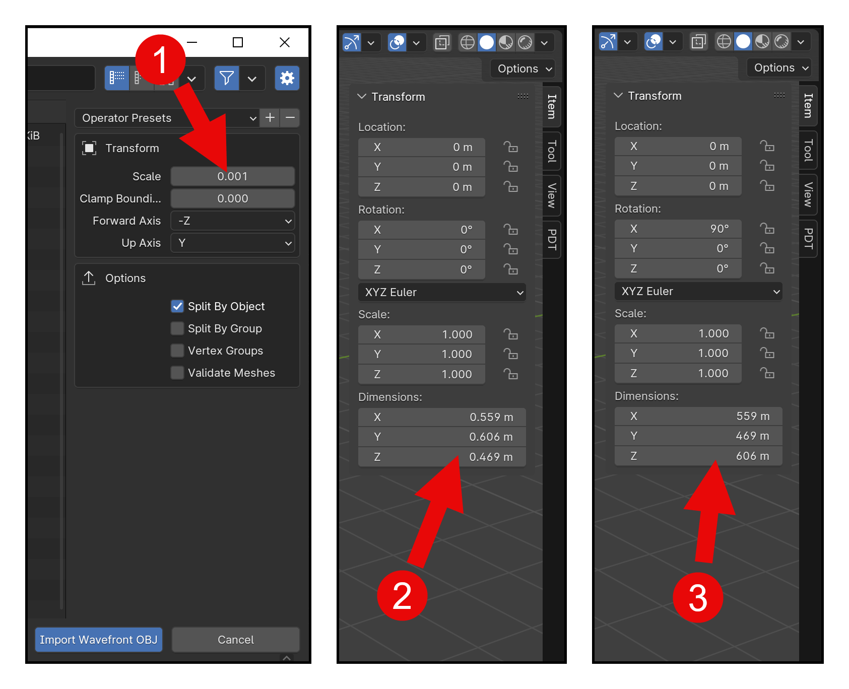
An aspect of the import process that you have to pay close attention to is the scale and units used in the model. Depending on how you set the scale, it might be necessary to use a Scale transformation. This particular model uses millimeters as the primary unit, so you have to use a scale factor when importing it to Blender.
Here is the recommended workflow to import this furniture model to Blender:
- Once you start the File → Import → Wavefront (.OBJ) and see the file selector, use the option on the right to set the scale to 0.001. Using this scale factor converts the OBJ scale from millimeters to meters.
- Using the scale factor gives you the correct dimensions for the furniture model.
- What if you use the default value for the scale? In that case, you will get a massive difference in sizing. You will have to press the S key and apply the scale manually.
A challenge with this type of resource is to find a reference about the scale used in the modeling.
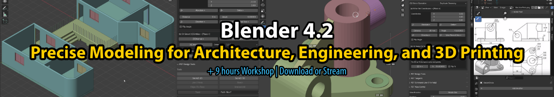
Learning Blender for architecture and interior design
If you want to learn more about how to use Blender for architecture and interior design, we have a lot of resources that can help you develop your skills and also manage these types of resources:
- Blender for architecture (Workshop)
- Blender 4.0: Precise Modeling for Architecture (Paperback) – (eBook)
- Blender for technical drawing (Workshop)
- QCAD for technical drawing (Open-source version of QCAD)
Getting any of these resources will help you use Blender and support our work in Blender 3D Architect.